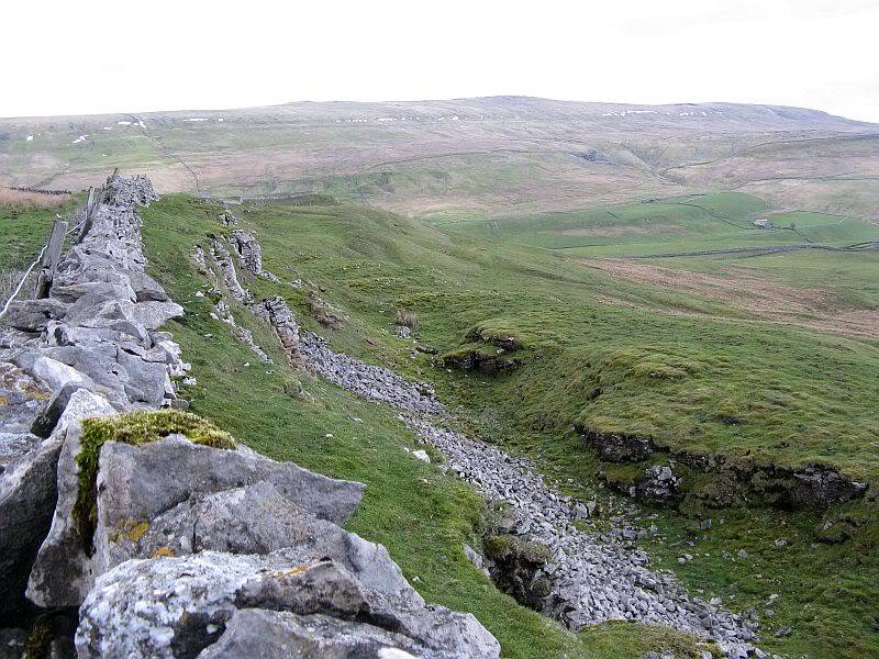
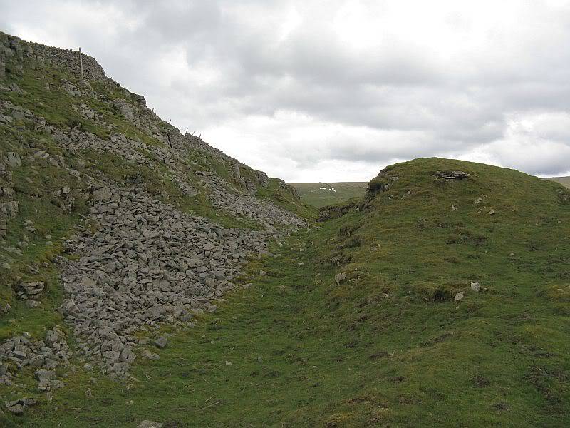
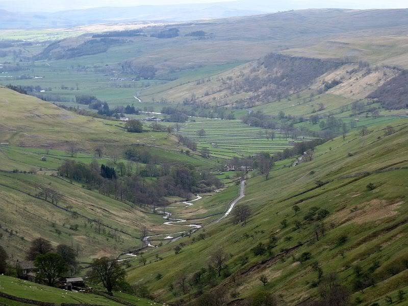
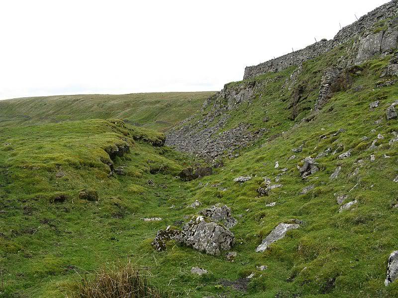
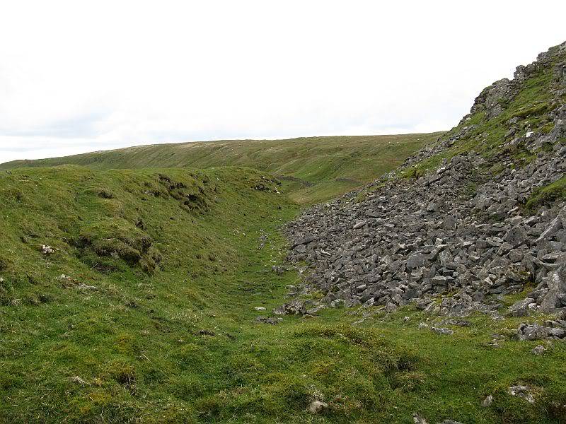
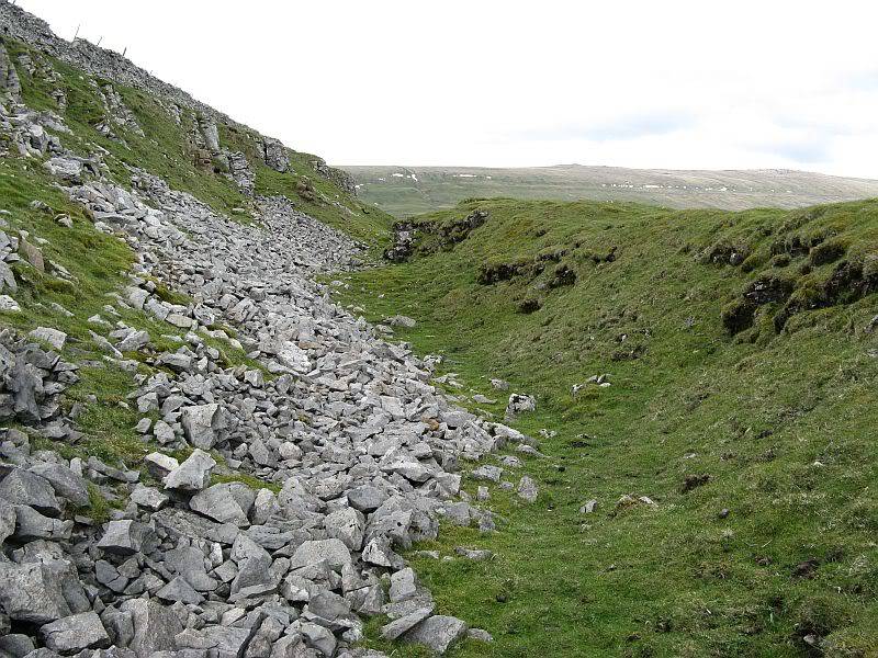
Tor Dyke, above Kettlewell, North Yorkshire
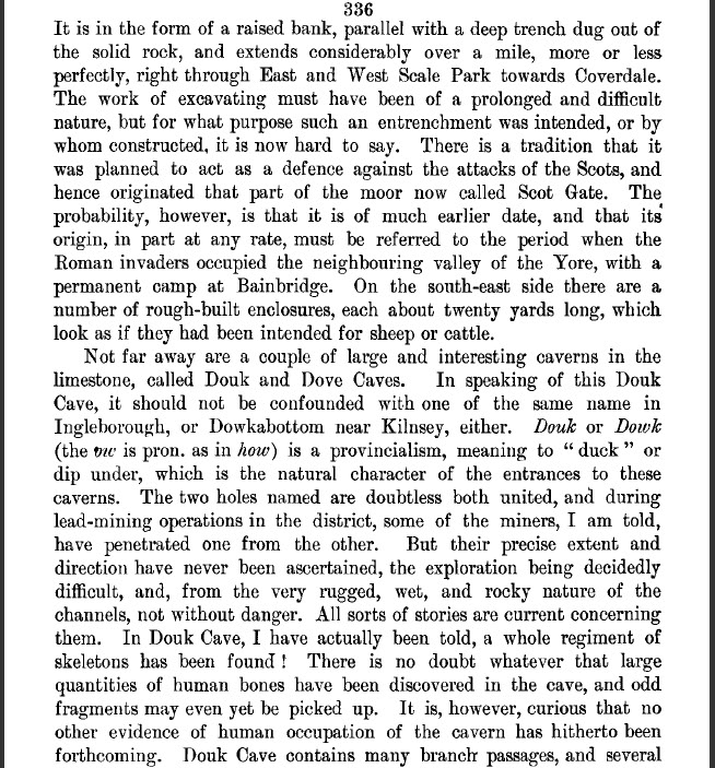
Tor or Ta Dyke is a massive earthwork cut along a limestone outcrop at the head of Scale Park spanning the route from Kettlewell to Coverdale. The Dyke is an entrenchment which stretches from the middle slopes of Great Whernside across the pass to the middle slopes of Buckden Pike.
My own thoughts on this entrenchment are far from conclusive and can be found on p.44. 'BEYOND THE HILL OF WINDS',
JOURNEYS THROUGH BRIGANTIA, Volume 4 ( Aussteiger Publications).
To my limited knowledge (I last looked at this site over 20 years ago) there has been no archaeological investigation of the Dyke, or am I wrong?
What are the thoughts of others on this site?
Thre are very good pictures of Tor Dyke on: www.brigantesnation.com
Who go on to state the following:
"Around AD70 the rebel Brigantian Chief Venutius built the ditch of Tor Dyke close to Great Whernside as part of a defence system against Roman invasion. Despite a hold on other areas, (including Ingleborough and Gregory Scar north of Grassington), Venutius and his forces were overcome by the Romans." This reference was taken from one of Mike Harding's walking guides. A site visit to Gregory Scar has been performed, and although it has been dubbed "Fort Gregory" by the Dales Park Authority it does not appear to be much more than a small, very unusual settlement.
Tor Dyke appears to have been attributed to Venutius which dates it of the period AD 52 - 70. The presence of a legionary size marching camp a few miles to the southwest at Malham certainly indicates an active role in the Roman advance of AD 70. However, given the lack of published research so far a clear picture has yet to emerge.
Also: HER No: MYD4145 states: www.outofoblivion.org.uk
Tor Dyke is a linear earthwork about 2000 metres long situated across a valley head guarding access from Upper Wharfedale into Coverdale. It consists mainly of an artificial ditch cut into the base of a vertical limestone scar. Part way along, the scar finishes, and from here the line is strengthened and continued by a substantial artificial rampart averaging 1.8 metres in height. Gaps in both rampart and ditch at this point may be the site of an original entrance.
The dyke is now believed to be the north eastern boundary of the Dark Age kingdom of Craven and once formed a line between Anglian invaders and native territories.
Source:
White, Robert (2002) The Yorkshire Dales. A Landscape Through Time. Ilkley: Great Northern Books
You see, nothing conclusive
john


