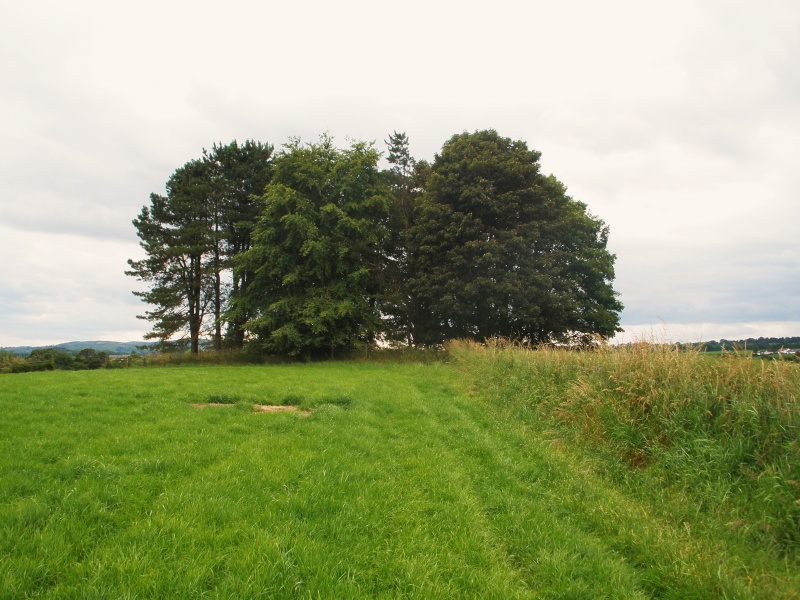
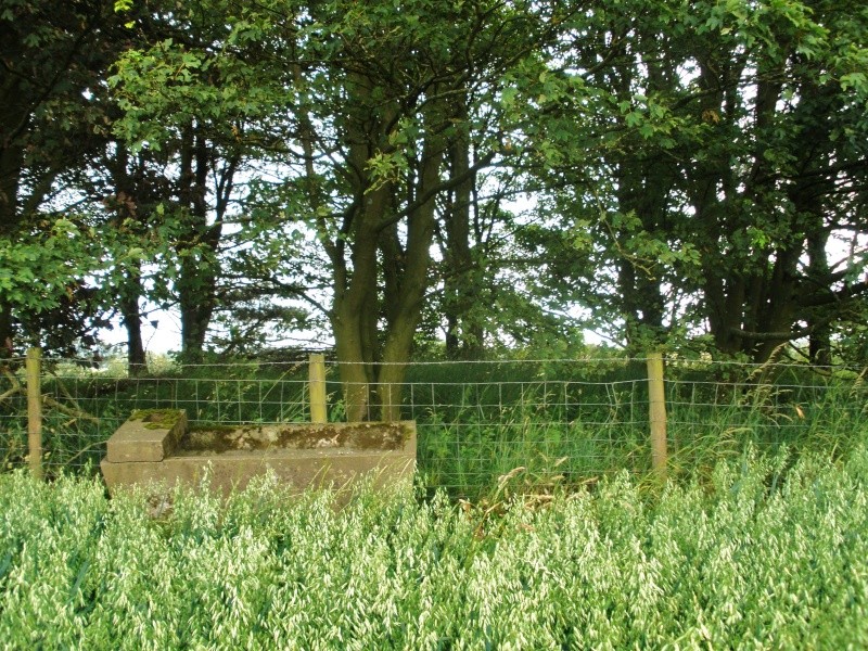
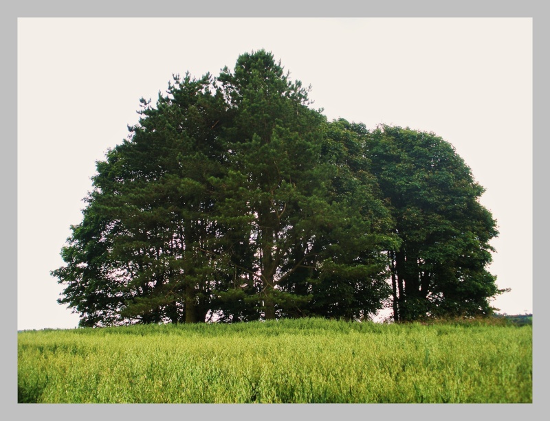
Os grid reference SD.8285 5012. At the church in Gisburn village take a right turn onto the A682 road to Long Preston. Go through some woodland and over a viaduct, then after another mile or so on the left hand side notice a clump of trees in a farmers' field. This is Little Painley tumulus or round barrow. Little Painley (Paghenale) farm is over to your right in the fields on the opposite side of the road. Go through a farm gate following a rough track to the clump of tall trees, and climb over a rickety stile, surrounded by cereal crops. The river Ribble is just a short distance to the west.
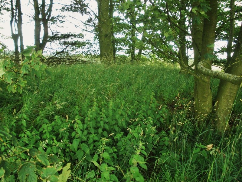
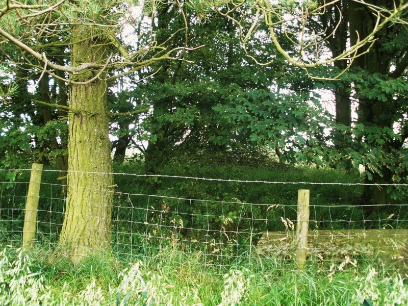
The tumulus is cordoned off with barbed-wire, but it is worthy of a visit. The bowl-shaped barrow, dating from the Bronze-Age, is roughly 20 metres in diameter, 0.5 in height with a fairly well defined ditch 2.5 metres across and about 0.5 metres in deepth. An outer bank is still visible at the south-west side. The tumulus is a round-shaped earthen mound now covered with tall grass and very tall trees growing around the edges of it. The barrow is fairly typical of a Bronze Age burial from 2,500-1,600 BC. When the site was excavated some collared earthen funery urns were dug up here - these were said to be of the Pennine type.
Half a mile to the north stands the earthwork known as Castle Haugh which is beside the eastern bank of the River Ribble close to the village of Paythorne. However, this earthwork is probably medieval in date, or so the historians believe.


Last edited by Sunbright57 on Mon Jul 25, 2011 1:52 pm; edited 2 times in total


