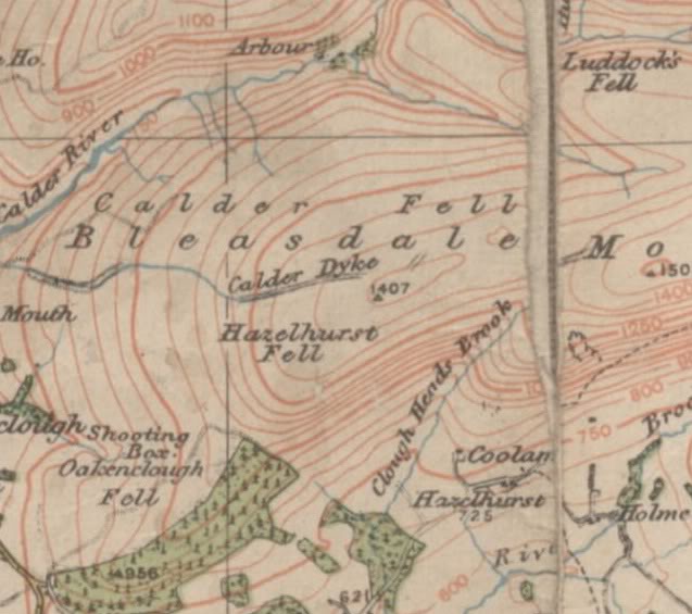
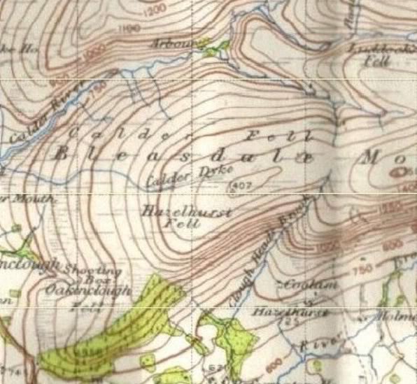
This large earthwork is sited on Hazelhurst Fell above Bleasdale & is over one and a half miles in length.
After parking the car at Admarsh Visitor Centre we took the farm road passing Bleasdale Circle to Holme House Farm. From here we climbed the steep track to Fiendsdale Head then followed a staked path directly east over the peat haggs to the start of the Calder Dyke earthwork, marked by an access sign and shooter's road.
Here the northern bank of the dyke carries a shooter's access road and can be followed over Hazelhurst Fell to a point where the track turns south and climbs down the fell to the Bleasdale Tower Estate. At this point the dyke and the track part company.
Here the dyke at an elivation of 400m is clearly seen running east for a mile over the northern bank of the fell.
As to what the Calder Dyke represents it is difficult to say, only that it is man-made and not a natural feature, nor is it part of a drainage system for water catchment - though it has been used as such at the far eastern end as it meets with a natural stream that flows down to the River Calder intake.
Old OS maps have the Calder Dyke recorded as an 'ancient earthwork', and those at Lancaster Arch' Unit have tentatively placed it in an Iron Age setting.
Other sources think it to be part of the ancient Harrington Dyke that once marked the southern boundary of the lands held by the Harringtons of Hornby Castle (more research needed).
Still no nearer but a great day out with superb views of Snowdonia, the Lakes and Howgills - and I got my first ever sighting of the Isle of Man from the Bowland Fells after nearly 50 years of walking them!
Well worth a visit and a ponder - john


