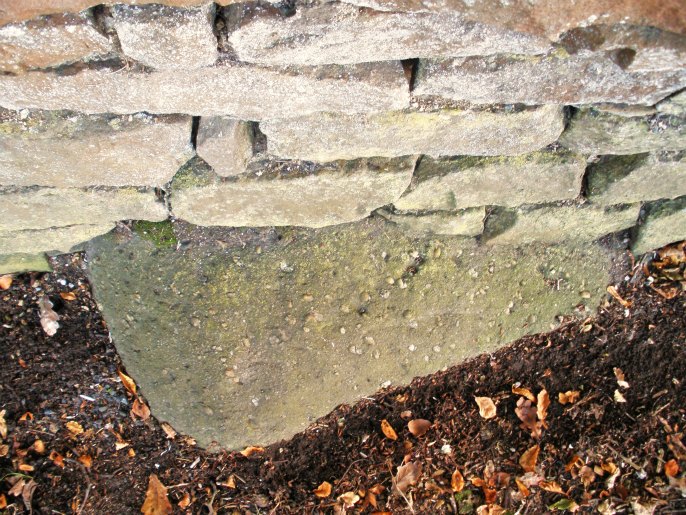
THE 'Downham Stone' (cross base)SD 782 444
A map Bill Shannon found (uncatalogued) in the National Archives of Downham for 1595 marks a cross at the above location.
Also on the map are some archery butts just west of the town, along the road to Chatburn - and I think you can still see traces of these on the ground.
The cross on the old map is not recorded. From the map I judge it to have once stood on the Downham to Chatburn road near to the Rimmington road where there is now a milestone. Opposite the milestone is the 'Downham Stone' SD 782 444 (said to mark the site of a Roman grave in local legand). This 31 inch long stone, which protrudes into the road by fourteen inches and stands a maximum of 10 inches above the road surface, may be the pedestal of the cross recorded on the map.
I am leading a short 2-3 mile walk around Downhan for the Lancashire History Society in June. I will post details of the walk and a copy of the 1595 map on TNA soon.


 Ooops, thought for a moment you were taking Old Ned and his wife with you on your travels. Sorry about that !!