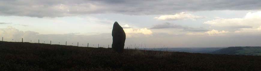


FAIR OAK CIRCLE, LITTLE BOWLAND, SD 648 458
1980's aerial photography identified a large circular earthwork at Fair Oak Farm. The circle has a surrounding ditch and bank enclosing a raised circular mound of approximately 100m in diameter. It is thought that the feature may represent Bronze/Iron Age settlement in the area, and may possibily be a villige site.
Aerial photograpy has identified a number of possible settlement sites in the area between Dinkling Green and the River Hodder at Whitewell and in the area around Whitmore below Totridge Fell. The largest being that at Fair Oak.
Back in the 1980's I fully surveyed the site and shall put up the diagrams and the aerial photograph on this site in the coming weeks.
Fair Oak Farm stands above the Whitewell Gorge where the Fairy Holes Caves are located, and is at the eastern end of the southern group of Bowland Fells where to the west the Bleasdale Circle is located.
See FORTHCOMING EVENTS for our next Field Trip to this area on 30th June 2011.

